Introduction
Through the years Strategizeit has been established as a trusted supplier and consultant for GIS and Remote sensing solutions and have grown its customer base by providing a variety of solutions that meet our clients objectives.
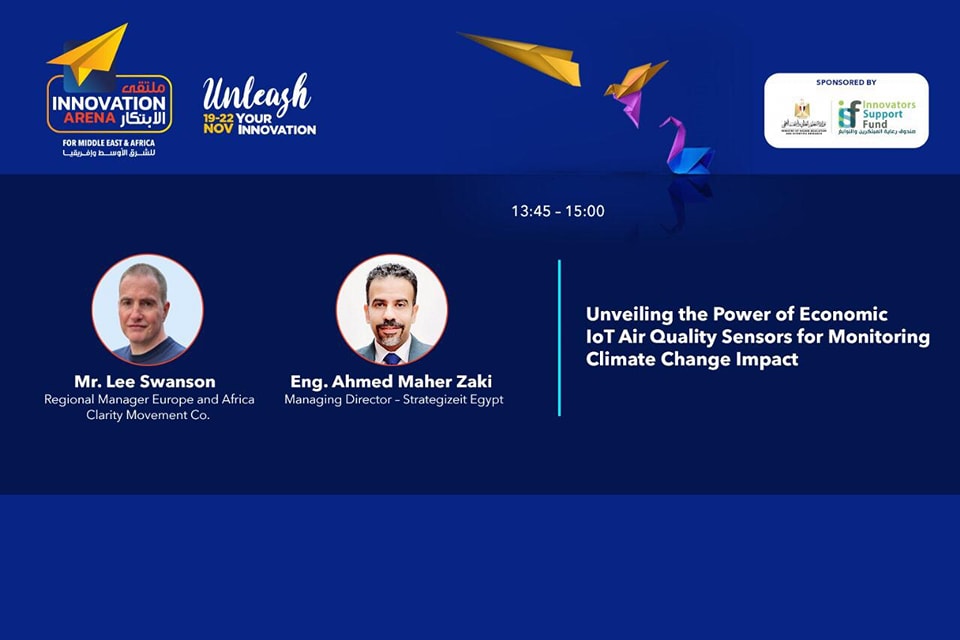
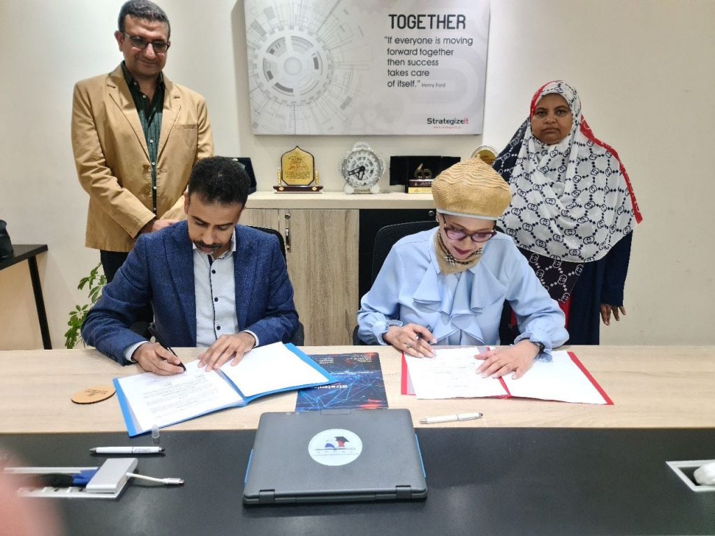
Strategizeit Egypt and the Ministry of Environment – EEAA team worked together to create a state of the art solution using ESRI technology in GIS and Remote sensing to monitor, track and document the biodiversity in all Egyptian natural reserves.
Solution Objectives
- Supporting the strategic objectives of the Ministry of Environment – EEAA regarding the localization of modern technologies and activating digital automation processes in accordance with the objectives of Egypt’s Vision 2030.
- Supporting decision-making and providing digital environmental information with an accurate and updated spatial dimension, to develop and manage nature reserves in line with sustainable development methodologies.
- Automate the work of environmental monitoring in nature reserves, develop procedures for monitoring documentation of wild organisms and natural plants in nature reserves, raise operational efficiency and control the quality of field data.
- Localizing modern technologies and building and managing a central geospatial database in accordance with international quality control standards, which represents an added value to the work of the various sectors of the Ministry of Environment.
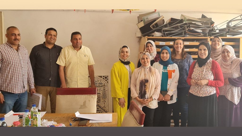
- Building capacity of the nature reserves team and concerned departments using knowledge transfer through interactive workshops and field training.
Solution Scope
Natural reserve Areas are considered the most valuable inherited treasure for human beings. This treasure that secures the ecosystem of our planet and plays a key role in maintaining the ecosystem balance, preserving important habitats, building resilience to climate change, providing global food security, maintaining water quality and conserving natural resources.
In order to reap the benefits of the natural reserve Areas, we have to understand, conserve and secure these natural reserve Areas.
As nature is so powerful, we should understand the potential effects of the natural hazards on the natural reserve Areas according to its type and one of these hazards is geophysical hazards. This document aims to classify the natural reserve Areas in Egypt according to the potential geophysical hazards they may face.
Geo-environmental hazards
the Solution addresses the geo-environmental hazards with focusing on the flashflood hazard. the Solution addresses briefly the potential geo-environmental hazards that the Egyptian natural reserve Areas may be subjected to. Furthermore, a qualitative flashflood hazard assessment is adopted and applied for all natural reserve Areas located within South Sinai, North Sinai and Red Sea governorates.
he analysis depends on generating a drainage network and watersheds for each natural reserve Area using a special precast watershed model, followed by morphometric analysis for these outputs to assess and spot the streams and watersheds that most likely represent a danger. The watershed model used in the analysis is precast which is developed by GIS software (ArcGIS PRO) which helps to extract the surface drainage characteristics based on the elevation data.
Produce Landcover and LandUse Maps
The Strategize-IT team Collected digital and paper data required to construct and design a geospatial database to identify and draw the boundaries of the Natural reserve Areas. then Build a geospatial database model in accordance with ISO approved standards.
Using Satellite Images for the areas Strategizeit Team Produced two kinds of analysis (Land Cover and Land Use).
The Land Cover Map is the physical material at the surface of the earth and it includes Water bodies, Rocks, Vegetation, Agriculture, Urbis, etc. The Land Use Map is the human use of land. It represents the economic and cultural activities e.g., agricultural, residential, industrial, mining, etc.
Digital transformation of the Natural reserves work
Digital transformation is the integration of digital technology into all areas of a business, activities and fundamentally changing how you operate and deliver value to your organization. It’s also a cultural change that requires organizations to continually challenge the status quo, experiment, and get comfortable with failure. Here is we have used Rugged Tablets that support field workouts with custom specs.
The engineering process of transforming old paper work into a smart logic form, requires restructure of layer to reconcile field differences between input and target dataset.
Using Esri field solutions (Survey123, Field Maps, and Quick capture) Strategizeit Team worked on 13 Categories/Departments of forms :
- Day To Day Management
- Environmental Impact Monitoring
- Biodiversity Tracking:
- Wild Animals: Small Mammals, big Mammals (Patrolling and Line Transect) and Birds.
- Wild Vegetation: Species Frequency, Density Cover (Line Intercept) and species Field datasheet.
- Marine Field Check: Indicator Organisms (Fish and Invertebrates), Red Sea Belt Transect (Fish and Invertebrates), Snorkeling Data Sheet and Site form (Reef Check Description)
- Tracking and Monitoring Business Actives Inside Natural Reserves Areas
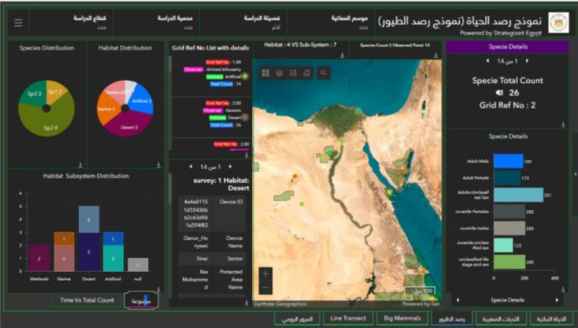
- Geographic Dashboard
When we put data on the map, Things happens. We discover patterns and relationships.
ESRI dashboard is the right key for data visualization.
Strategizeit Team Built upon Web Maps, Application Dashboard to get insights and (KPI) to enable decision maker and higher level to be posted with every single action updated in the natural reserves Areas.
Each Dashboard is designed for achieving specific target: statistical, operational and management activities.
With other captivities to show the survey type, distance, who is maker, when it did and so many other KPIs and Indicators.
Here we provide a way to get data between all levels reducing communication bridge.
- Funnel category selectors
- Instance Statistics of PAs of collected data
- Enable the user not only to what happens but where and when
- Enable the user to study the seasonal impact of any event regarding man-made or natural cries.
Also, Strategizeit Team built web apps to make the analysis easier by using predefined and customized widgets upon client’s needs.
This smart solution supported the ministry team to create an environment of increased productivity, by building, developing, collecting, updating, managing and presenting geographical data.